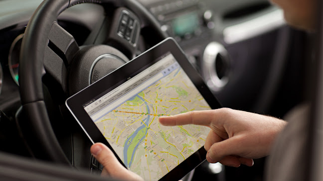
If we pedal back in time, we used to depend on passersby to reach a certain destination or to seek directions for a place we were not acquainted with. Sometimes, while visiting a relative, friend or going on an excursion we often stopped at various corners and streets to ask for help and guidance from the residents. Many people misguided us and we used to end up on unknown paths. This was mostly frustrating and wasted our time as we had to go all the way back again. But thanks to our phones and the navigation system that took us out of this pickle. Now you do not have to depend on strangers anymore. All you need is a stable internet connection and then by just typing the location of your destination you can follow the route depicted by the map. Here's a short intro for those who are not much aware of Global Positioning System (GPS).
Global Positioning System is a space based technology and a navigation system which is designed and owned by the US government. It consists of a network of satellites which provide positioning, navigation and timing (PNT) services to the users. The US defense department came up with this idea in 1973 in order to assist their military soldiers and vehicles. The first successful prototype satellite was launched in 1978. Few years later, this service was extended to the general public so that they could easily navigate their way while traveling, without getting off the track. Google has the top position in navigation services and recently it introduced its 'Stay Safe' feature through which people can trace the live location of their loved ones while they travel through public vehicles. It also sends them signals if they go 0.5 km away from the route. There are many other GPS providers in the market such as MapQuest and MapFactor, but people hardly know about them as Google is the dominant player in the industry and the most efficient in providing this service.
It
is noteworthy that GPS does not always give exact directions. Many people have
expressed their concerns that it gives you inaccurate directions at times. In
multiple cases people have ended up at a dead end or a lake while following
GPS. This is because the satellite signals are not totally error free in giving
you the precise location and there can be glitches in terms of transmitting
signals. Furthermore, sometimes the maps are not updated and new developments
such as road construction are neglected.
All the navigation service providers have been working on making improvements in this current system so that users can have access to up to date information through the maps. This new technology is named as the Visual Positioning System (VPS) which is more advanced and accurate than GPS. It will provide extensive coverage and deal with the challenges that GPS faces such as blockage due to skyscrapers in cities which causes hindrance in sending the signals. This visual system is designed for Google Maps. It will make use of Google's back end data as well as the user's phone camera to depict the route. The live location will be analyzed and detected by the camera for example the signboards and buildings. Based on that it will give directions and provide navigation for the journey.
The
navigation industry is reviving and experts are trying to incorporate
Artificial Intelligence in smartphones so that surroundings can be better
captured and recognized. The future for VPS seems very bright and it is
expected that the market will reach around 10 billion by 2025. More and more
companies are fully embracing investing in this technology.


No comments:
Post a Comment